Mylena Oliveira
RA XVI - Samambaia
Development of an Urban Plan for the city of Samambaia, in the Federal District, close to Brasilia, Brazil.
Course: Urban Plan II
Duration: 1 term (5 months)
Colaboration: Ana Cristina Azevedo, Luana Andrade, Mayara Bet and Paula Santana.
4th year project, 2015.


Location of the city of Samambaia in Brazil and in the Federal District.

Identification of the problems

Necessary road integrations

Growth: expansions, limits and density

Centrality and skyline

Proposal for the general use and occupation of the land; and large free spaces occupation.

Description and diagnosis of the road sistem.

Map of synthesis produced by the analysis of other group's work - use and occupation.

Street Hierarchy

Functional Map - road network system

Operational Map
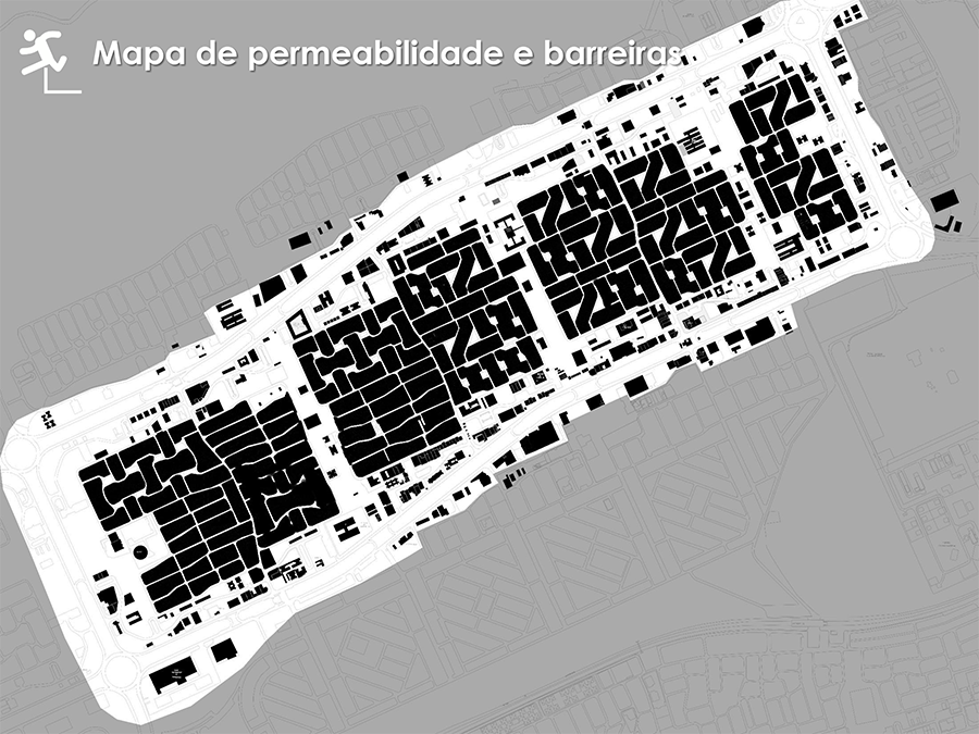
Permeability and barriers

Road sections identification

Road section 1

Road section 2

Road section 3

Road section 4

Road section 5

Map of green areas